We still see projects in Overland Park where the geotech report uses a default Site Class D assumption because no shear wave velocity data was collected. That shortcut might save a few days during due diligence, but it often leads to a more conservative, more expensive structural design than the actual soil profile would require. Overland Park sits on Pennsylvanian-age cyclothems—interbedded limestone, shale, and sandstone with highly variable weathering depths. A proper MASW survey tells the structural engineer exactly what Vs30 value to use, and that number directly drives the seismic base shear in ASCE 7 Chapter 11. In the Blue Valley and Corporate Woods areas, where low-rise office and multifamily development is constant, we routinely combine MASW with deeper SPT drilling to correlate Vs profiles with N-values and confirm refusal depth on the limestone benches that underlie much of Johnson County.
A site-specific Vs30 from MASW is the single most cost-effective way to refine your seismic design category in Overland Park—it often pays for itself in foundation steel reduction.
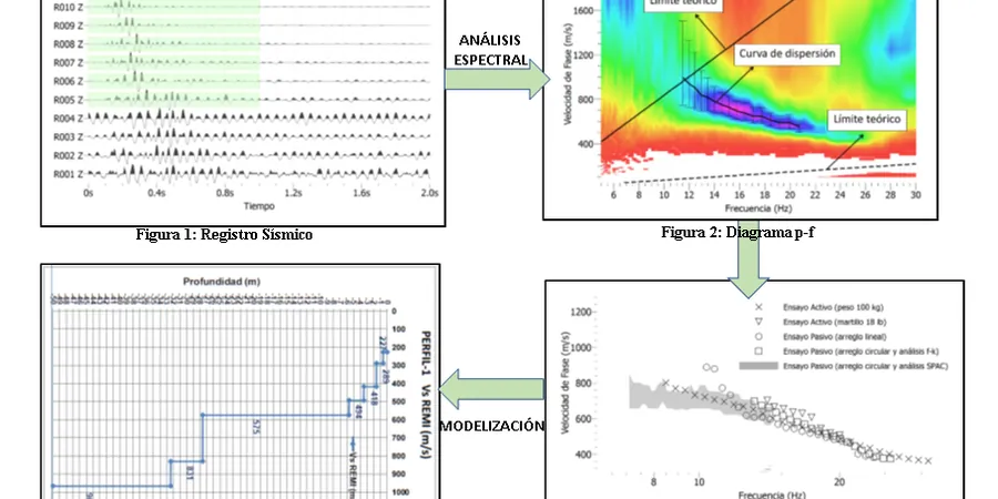
Methodology and scope
Local considerations
Compare a site near Shawnee Mission Parkway in downtown Overland Park with one out in the newer subdivisions south of 159th Street. The older, urban site often sits on shallow limestone—great for bearing, but it creates a sharp Vs contrast that can amplify short-period ground motion. The southern site, by contrast, might have 20 to 40 feet of stiff residual clay over weathered shale, producing a lower Vs30 that pushes the design into Site Class D territory. Neither condition is inherently bad, but if you design both buildings with the same default seismic parameters, one will be over-designed and the other potentially under-designed. The IBC explicitly permits site-specific ground motion analysis using measured Vs30, and in Overland Park's karst-affected terrain—where solutioning in the Argentine Limestone can create erratic bedrock depths—relying on blow counts alone to estimate Vs introduces uncertainty that MASW resolves directly. The city's adoption of the 2018 International Building Code with Kansas-specific amendments means the path from Vs30 to design spectra is well-defined, but only if you have measured shear wave velocity data to feed into it.
Explanatory video
Applicable standards
ASCE 7-22 Minimum Design Loads and Associated Criteria for Buildings and Other Structures, IBC 2018 (Kansas adoption) Chapter 16 Structural Design and Chapter 18 Soils and Foundations, ASTM D5777-18 Standard Guide for Using the Seismic Refraction Method for Subsurface Investigation
Associated technical services
MASW and Vs30 Seismic Site Classification
Active-source MASW surveys with 24-channel acquisition, dispersion analysis, and Vs30 computation per ASCE 7-22. Deliverables include 2D Vs cross-sections and a signed report suitable for plan check submittal to the City of Overland Park building department.
Combined MASW and SPT Drilling Package
Paired geophysical and intrusive investigation. We run MASW lines between borehole locations and calibrate Vs profiles against SPT N-values, giving the geotechnical engineer both direct and indirect measurements for site-specific ground motion analysis per IBC Section 1613.
Seismic Refraction for Rippability and Bedrock Depth
When the project requires a precise pick on top of competent limestone—common in Overland Park's Pennsylvanian bedrock terrain—we add P-wave refraction lines to complement the MASW shear wave data. Useful for excavation planning and confirming refusal depth before foundation design.
Typical parameters
Frequently asked questions
What does a MASW test cost in Overland Park?
For a typical commercial site in Johnson County with three to four MASW lines and full Vs30 reporting, the cost ranges from US$1,740 to US$2,840 depending on line length, site access, and whether you need combined SPT calibration. Sites with heavy vegetation or slope that require extra setup time tend toward the upper end. We provide a fixed-price proposal after reviewing your site plan and geotechnical scope of work.
How does MASW determine my site class under ASCE 7?
MASW measures the shear wave velocity of the upper 30 meters (Vs30) by recording surface-wave dispersion along a geophone array. The average Vs30 is calculated according to ASCE 7-22 Section 20.4, and that value determines your Site Class: A (>1,500 m/s), B (760–1,500 m/s), C (360–760 m/s), D (180–360 m/s), or E (<180 m/s). In Overland Park, most sites with shallow limestone fall into Class C, while deeper soil profiles over weathered shale typically classify as Class D.
Does the City of Overland Park require Vs30 testing for building permits?
The city does not categorically require Vs30 testing for every project. However, for structures assigned to Seismic Design Category C or higher, or when the geotechnical engineer wants to justify a site class better than the default D, the building official will accept a site-specific Vs30 determination per IBC Section 1613.3.2. We have submitted MASW reports for projects reviewed by Overland Park's Community Development Department without issue.
How long does a MASW survey take on site?
A typical three-line MASW survey on a half-acre commercial lot in Overland Park takes one field day, assuming reasonable access and weather. The crew lays out the geophone spread, collects multiple shots per line for stacking, and demobilizes. Data processing—dispersion curve picking, inversion, and Vs30 computation—adds another two to three business days before the draft report is ready for review.
Can MASW work on paved sites, like an existing parking lot?
Yes, but with some adaptation. We use geophone base plates coupled to the asphalt or concrete with gypsum or viscous couplant. The high-frequency surface waves propagate well through pavement, though the near-surface velocity inversion can complicate the dispersion curve if the pavement is very thick. For Overland Park shopping center redevelopments where we are testing through existing parking lots, we have successfully obtained Vs30 profiles by extending the line length and using lower-frequency geophones to capture deeper information.